Leadmine Mountain
Total Mileage: 15
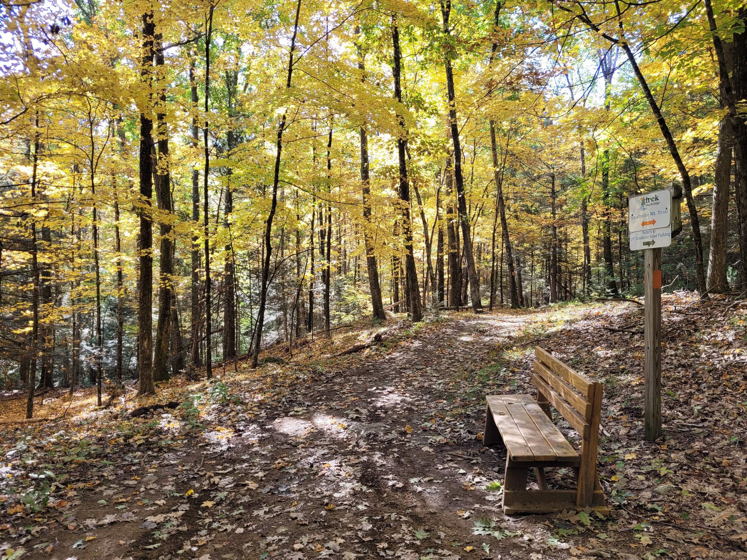
Our most popular and most diverse trail system. The historical location of Camp Robinson Crusoe. Experience nearly 1,000 acres of epic beauty.
This property is appropriate for family hiking. Leashed and well behaved dogs are welcome, please pick up after them.
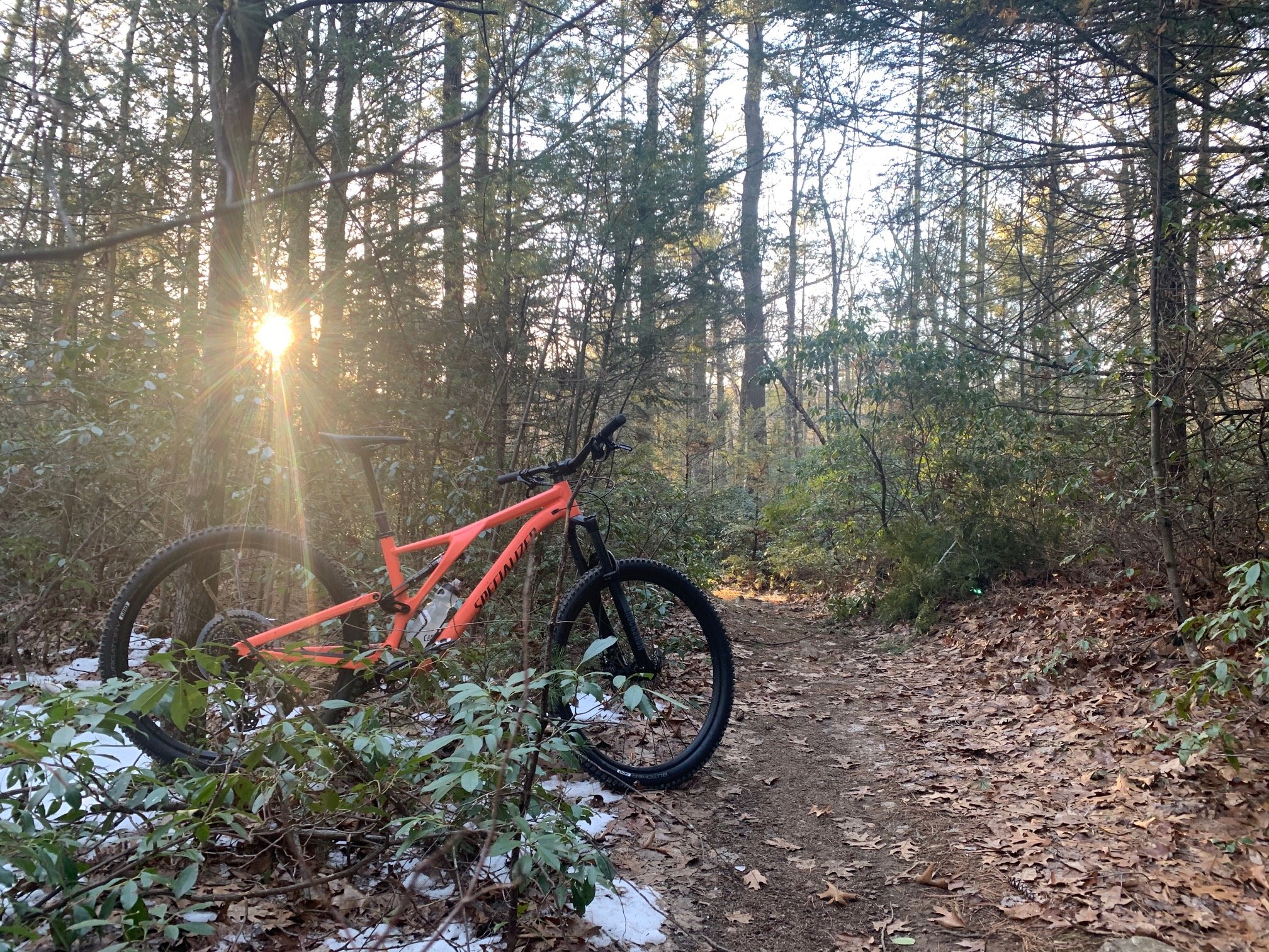
Mountain and gravel bikers love this property, there are a variety of double and singletrack trails, rated green to black.
If you like elevation, you will find it here. There are upper and lower flat loops, but expect to go up and downhill if you connect them.
Within lower and upper flat loops, trails are packed gravel and appropriate for strollers. Jogging strollers with larger wheels are recommended.
Trail Map
Parking
-
OSV Access Rd.
Address:
Old Sturbridge Village Rd.
Sturbridge, MA 01566
Past the Old Sturbridge Village education center on the road that connects rt. 84 to Main St., you will find the primary Leadmine Mountain parking area just inside of the OSV Access Rd. gate. There is ample parking here and access to the lower loops and broader trail network.
Expect to stay level, or climb then descend from this access point depending on the mileage you’d like to cover. This is the most direct access point to the blue lagoon on Arbutus.

-
10 Shattuck Rd.
Address:
10 Shattuck Rd.
Sturbridge, MA 01566
Again, from the rt. 84 side of the network, the lot on Shattuck Rd. lies outside of the OSV Access Rd. gate. There is parking for approximately 10 cars and a perfect ‘overflow’ parking lot if you’re looking to access the lower trail loops or start your epic hike with elevation gain before descending.
This access point brings you to the blue lagoon and can be a quicker path to upper area singletrack preferred by mountain bikers. The Saw Mill waterfall is also a short hike from this area.
-
197a Leadmine Rd.
Address:
197 Leadmine Rd.
Sturbridge, MA 01566
Drive up the scenic Stallion Hill Rd climb, which runs parallel to the Leadmine Mountain trail system, bear left down Leadmine Rd., and you’ll reach the upper parking lot for this beautiful system.
Exit through the gates within the parking lot and you’ll descend into the upper loops and singletrack areas of Leadmine Mountain. Cross the street and you will access scenic Heins Farm with some of the best views in town. While on the Heins Farm side, bring your binoculars or bird watching in this prime habitat.
Property Gallery


Nearby Trails
-
Heins Farm
Trail Connector: Yes, enter the trail through the gate at 197 Leadmine Rd
Parking Distance: Within 1 mile
-

Riverlands
Trail Connector: No
Parking Distance: Within 1 mile
-

Plimpton Community Forest
Trail Connector: No
Parking Distance: Within 3 miles


