

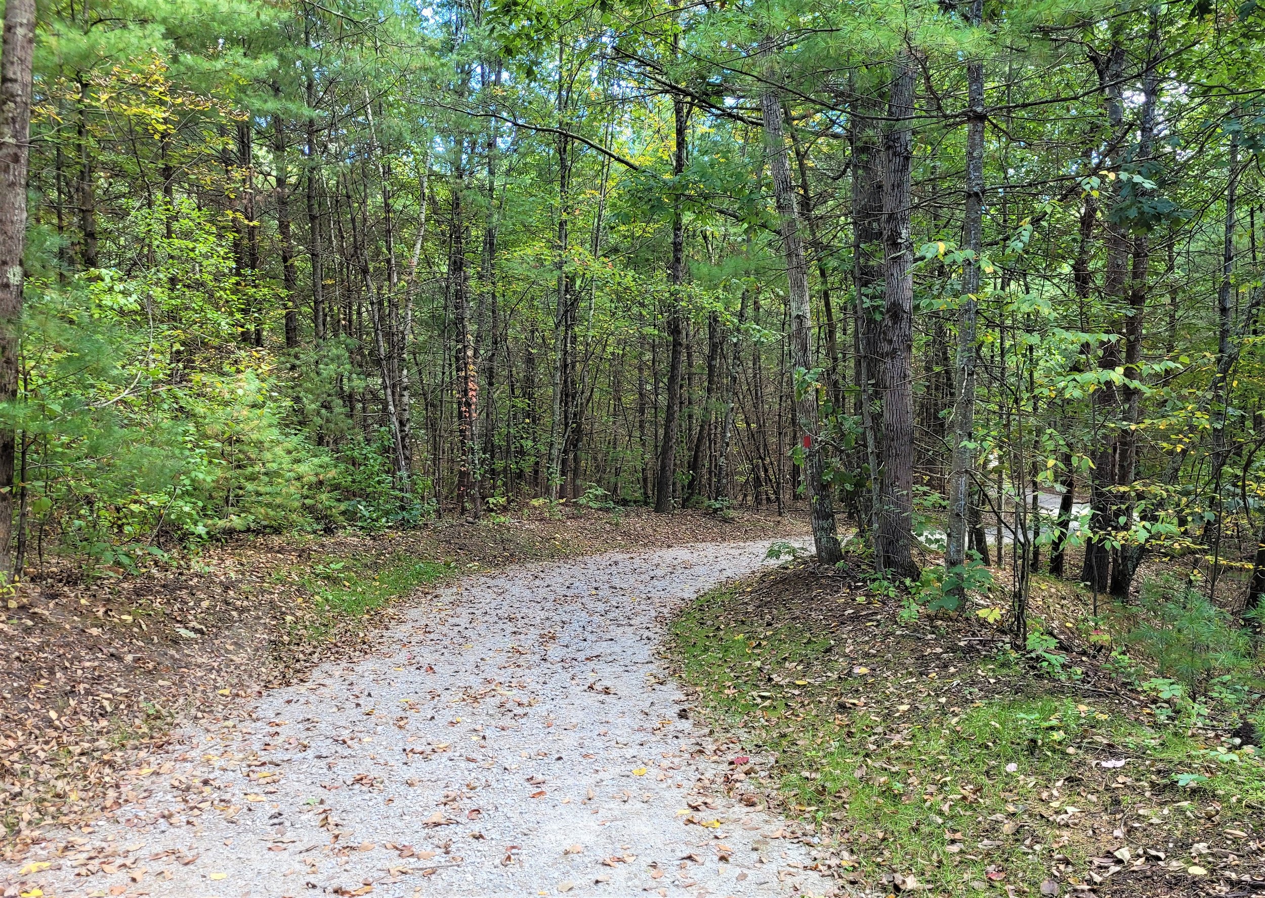
Grand Trunk Trail
Total Mileage: 5 (2 additional miles planned)
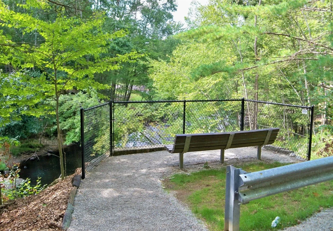
The town’s contribution to the Titanic Rail Trail, a growing project meant to reach 66 connected miles over time. Multiple parking areas provide access to the Quineboag River and two separate dams.


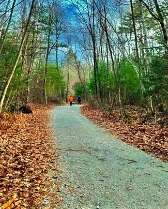
This property is appropriate for family hiking. Leashed and well behaved dogs are welcome, please pick up after them.
A perfect entry point to off road biking and suitable for mountain and gravel bikes alike.
This is prime stroller territory and an ideal place to get your little ones exposed to the outdoors - for their sanity and your own!
Trail Map

Parking Areas for Trail Access
-
46 Holland Rd.
Address:
46 Holland Rd.
Sturbridge, MA 01566
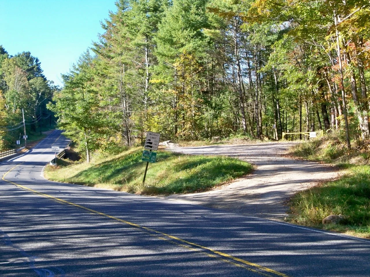
On rt. 148 (Hollad Rd) going from rt. 20 towards Holland, just after crossing the Quinebaug River there will be a parking area on the right side.
Park here for an easy, family friendly trek to the East Brimfield Dam.
-
52 Stallion Hill Rd.
Address:
52 Stallion Hill Rd.
Sturbridge, MA 01566
Also the parking lot for the Riverlands trails, the GTT runs through this network and 52 Stallion Hill Rd. serves as a mid-way access point in Sturbridge.
This parking lot is directly across from the main entrance to Old Sturbridge Village.

-
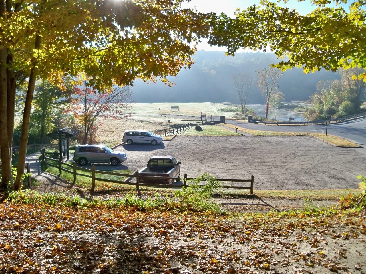
125 Wallace Rd.
Address:
125 Wallace Rd.
Sturbridge, MA 01566
Parking at the Westville Recreation Area gives you access to the Westville Dam side of the Grand Trunk Trail in Sturbridge.
There is ample parking here and areas for a picnic lunch and lawn recreation.
Property Gallery


Nearby Trails
-

Leadmine Mountain
Trail Connector: No
Parking Distance: Within 1 mile
-

Riverlands
Trail Connector: Yes
Parking Distance: On-site, 52 Stallion Hill Rd.
-

Westville Lake
Trail Connector: Yes
Parking Distance: On-site, 125 Wallace Rd